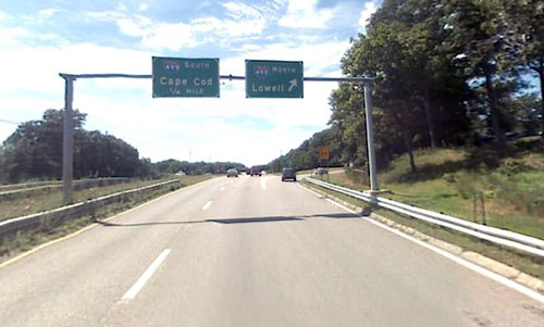
Looking west on Route 9 at the I-495 interchange (via Google Maps)
Earlier this month several regional planning organizations held public sessions to gather feedback about economic development, transportation, and open space in communities along the 495 corridor and in Metrowest. Selectman Bill Boland attended one of the events and shared his thoughts with the Boston Globe.
Southborough Selectman Bill Boland glanced at the map spread across a table and marked up with red, green, and orange stickers — and more than a little red pen — and immediately began explaining the dynamics of his section of the state.
“The biggest fear in development is the traffic,’’ Boland said, tracing Route 9 from the Massachusetts Turnpike in Framingham west through his town to Interstate 495 and into neighboring Westborough.
“People in Southborough will tell you we don’t want more traffic on Route 9,’’ he continued. “If we don’t have development on Route 9 in Southborough, guess where it goes? The development goes over to Westborough, along with all that revenue, and guess what? You still get the traffic in Southborough.
“It’s a balancing act.’’
You can read more about the planning session here. What do you think? If there’s going to be development along Route 9, should it be in Southborough? What about all that extra traffic?


Southborough really needs to take a look at itself. Southborough has a long reputation of not allowing any retail property in town. Is it really fair that the Southborough residents drive into neighboring communities to do every day business? If you live in Southborough you know what I mean